
Choose from selection

This is the itinerary
DAY 1 : CASTAGNIERS-COL SAINT MARTIN- ST SAUVEUR SUR TINÉE
Distance 1 : 59 Miles - 95 Km
Elevation gain 1 : 2250 Meters
DAY 2 : ST SAUVEUR SUR TINÉE- COL DE LA BONETTE- JAUSIERS
Distance 1 : 57 Miles - 92 Km
Elevation gain 1 : 2300 Meters
The Col de la Bonette , the highest road in Europe (2802 meters), the top of the Bonette represents an undeniable link between the Mediterranean and the Alps, an opening route that comes from the North, Ubay Valley or South, Valley of Tinée. Real touring asphalt ribbon evolving in grandiose landscapes, one can not remain impassive in front of snowy summits, veiled panoramas or plunging valleys. At 2802m of altitude the Cime de la Bonette sees from March to September many vehicles : cars, campers, motorcycles and especially cyclists.
DAY 3 : JAUSIERS-COL DE VARS- COL DE L’IZOARD- BRIANÇON
Distance 1 : 61 Miles - 98 Km
Elevation gain 1 : 2100 Meters
The Col de Vars, with more than 1,000 m of difference in altitude on each of its slopes, the Vars pass is a large Alpine pass, "one of the hardest with Parpaillon, Izoard and Galibier" even specify the "Dolin Profiles" , reference guides of the cycling world in France. Very fast to St-Paul on Ubaye, the pass reserves some surprises in the last ramp of 5 km to 10% of average slope, where it is better not to put back the gear. A final that takes a lot of cyclists for more than half an hour!
The Col d'Izoard is frequently on the route of the Tour de France. It is classified as an Hors Categorie climb. The southern climb from Guillestre is 15.9km in length and has an average gradient of 6.9%. The climb from Briancon to the north is 20km in length and has an average gradient of 5.7%. Several of the Tour de France's more memorable moments have occurred on the Col d'Izoard, particularly the exploits of Fausto Coppi, Bernard Thevenet and Louison Bobet. A small cycling museum is at the summit, along with a memorial to Coppi.
DAY 4 : BRIANÇON – COL DU LAUTARET – COL DU GALIBIER – COL DU TÉLÉGRAPHE – AUSSOIS
Distance 1 : 44 Miles - 70 Km
Elevation gain 1 : 1700 Meters
Col du Galibier (el. 2645 m.) is a mountain pass that is often the highest point of the Tour de France. It connects Saint-Michel-de-Maurienne and Briançon via the col du Télégraphe and the Col du Lautaret. It takes its name from the secondary chain of mountains known as the Galibier. The actual climb to the summit starts at Valloire and is 18.1 km long at an average of 6.9% (height gain: 1245 m). The maximum gradient is 10.1% at the summit. From the south, the climb starts from the Col du Lautaret (el. 2058 m.). The Col du Galibier was first used in the Tour de France in 1911; the first rider over the summit was Emile Georget, who, with Paul Duboc and Gustave Garrigou were the only riders not to walk. At the south portal of the tunnel, there is a monument to Henri Desgrange, instigator and first director of the Tour de France,inaugurated on 19 July 1949. Whenever the tour crosses the Col du Galibier, a wreath is laid on the memorial. Since 1947, the Col de Galibier has been crossed 29 times by the Tour de France.
Col du Lautaret, It marks the boundary between the valleys of the Romanche and the Guisane, a tributary of the Durance which has its source at the col. The valleys are linked by national route 91. The Lautaret is one of the lowest points on the ridge line which separates the "north" and "south" geographic areas of the French Alps. The col was modeled by a glacier which flowed down either side into the two valleys, and this explains the relatively easy gradient of the slopes by which it is attained. For the latter reason, the Col has long been used as a communication route between Grenoble and Briançon, and indeed for reaching Italy across the Alps. The Col is open all year round, and provides good views of La Meije to the south-west and the Grand Galibier to the north. It is also well-known for its botanical garden, and for its use in the Tour de France. The route to the south side of the Col du Galibier leaves from the Lautaret
DAY 5 : AUSSOIS– COL DE L’ISERAN – VAL D’ISÈRE
Col de l’Iseran: The Iseran Pass rises to about 2.764m above sea level, in Savoie. First mountain pass of the French Alps by its altitude, it is even the highest mountain pass road of all the Alps. The road that crosses it, connectiong the valleys of Maurienne and Tarentaise, is closed in winter and nested during this season in the middle of the ski slopes of Val d’Isère. Built during the inter-was years, it has become a Mecca of the Tour de France cycling. The iseran pass is part of the Vanoise National Park.
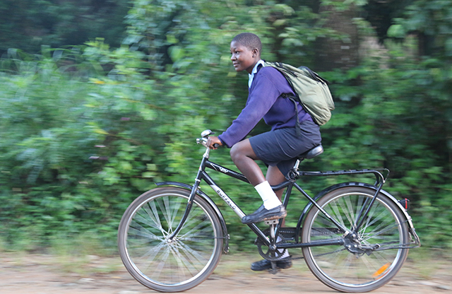
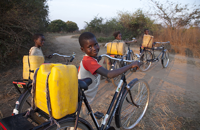
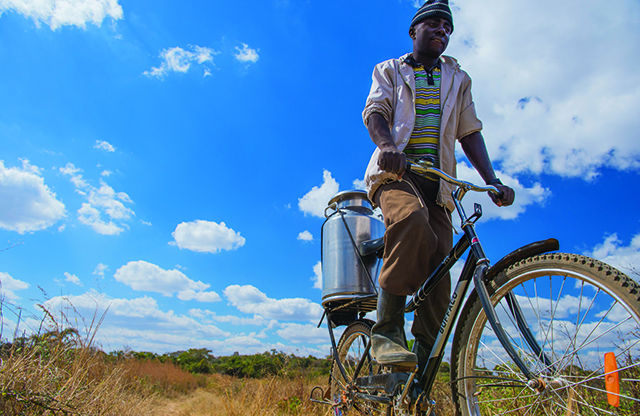
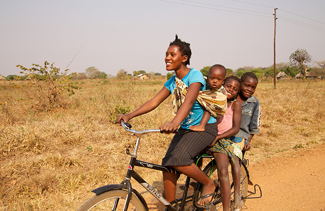
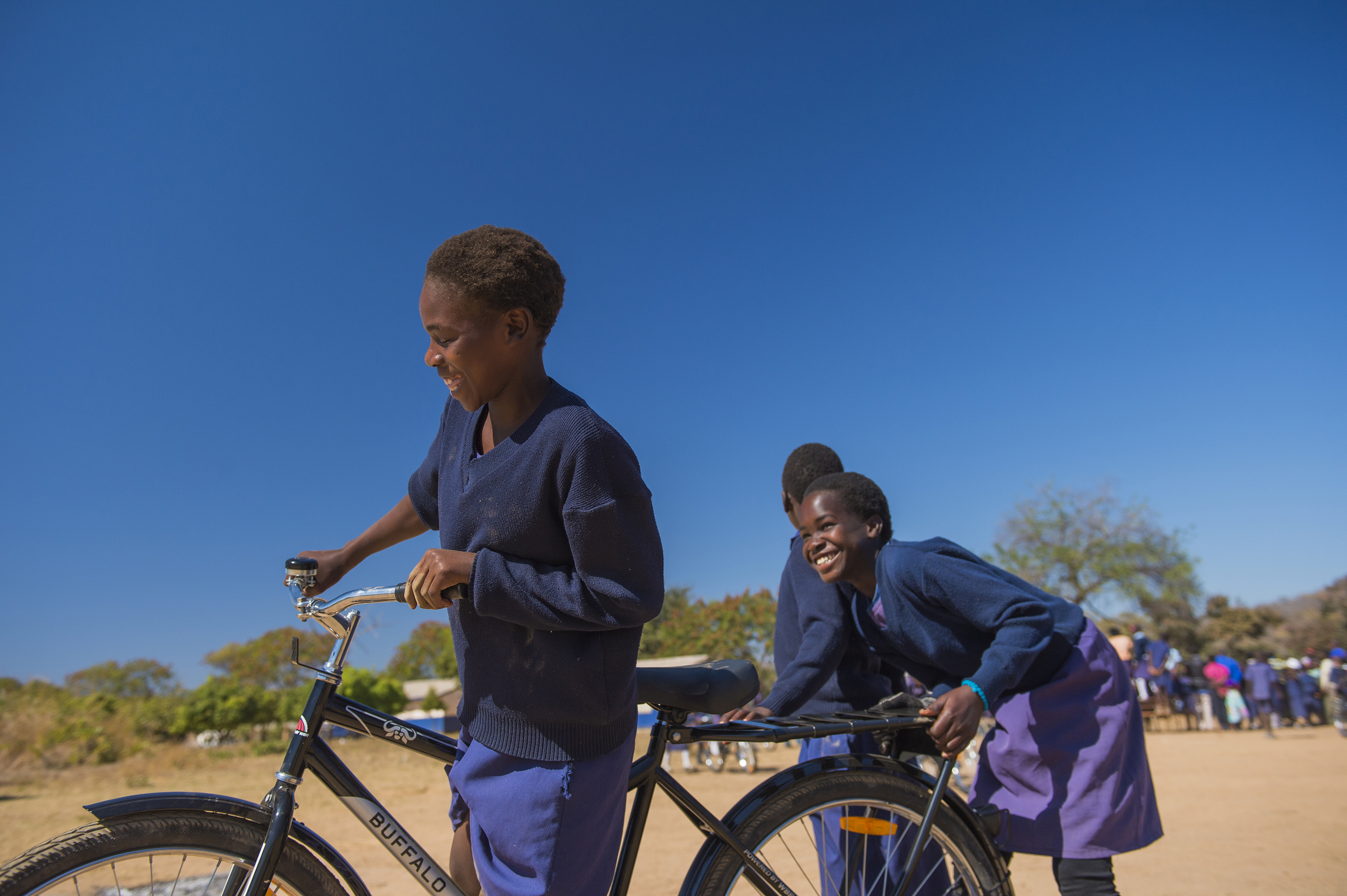
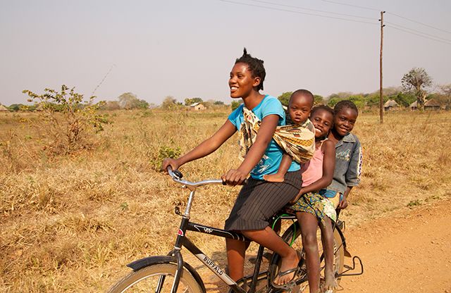
By providing bicycles to children, especially girls, you can empower them with knowledge and ultimately, change the course of their lives.


 Thank you! With your help we raised a total of EUR 939 for Bicycles for Education.
 This campaign has ended

